Category: Education
License: Free
Review rating:
Official page: Google Earth Pro
Wikipedia: Google Earth Pro
Description
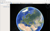
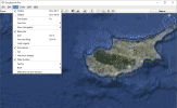
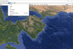
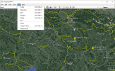
Google Earth – a software designed to work with a virtual model of the planet. Google Earth has a set of tools to display the buildings and landscapes in 3D-graphics, panoramic view of streets, dive in depth of the ocean, research the information about landmarks, etc. The software allows you to impose your own marks on top of satellite images and map a route between the designated landmarks. Google Earth also enables to view the images of distant galaxies and explore the surface of Mars or Moon using a flight simulator. Google Earth allows you to transfer the geographic data and impose it on the 3D map.
Main features:
- Great geographic content
- Detailed overview of a terrain
- 3D building models
- Displays the surface of Mars and Moon
- Diving under the surface of the water space
- Viewing of the historical photos
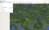
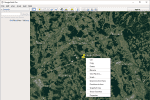
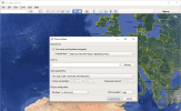
Screenshots:
Google Earth Pro
Version:
7.3.3.7786
Language:
English
Download Google Earth Pro
Click on green button to start download
Download has started, check your browser download window. If there are some problems, click the button one more time, we use different download methods.
